Image Colnect-120-018-Map-of-the-Strait-of-Gibraltar.jpg
(417 x 669 pixels) |
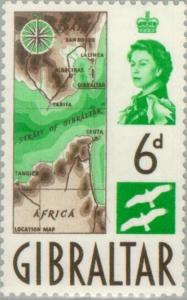
Type: stamp Issuer: Gibraltar Date: 1960 Denom: ?
Visibility: public Image owner: none postage 10/29/1960 6p grn&sep issue=1960 d=Map of the Strait of Gibraltar & eagles wmk=mult crown & script CA Crops No visible images cropped from this one. Measurements Resolution is unknown. Source Source name: Colnect File URL: http://i.colnect.net/images/b/120/018/Map-of-the-Strait-of-Gibraltar.jpg Uploaded October 20, 2012, 5:02 am by Stan Shebs |