Prev: Colnect-2099-098-Space-Shuttle.jpg
Next: Colnect-2399-474-Elephant---Bloc-65.jpg

Image Colnect-2099-101-DC-3-Dakota-Sir-Rowland-Hill-Map-of-Africa.jpg

Colnect-2099-101-DC-3-Dakota-Sir-Rowland-Hill-Map-of-Africa.jpg
Full resolution
(797 x 1024 pixels)

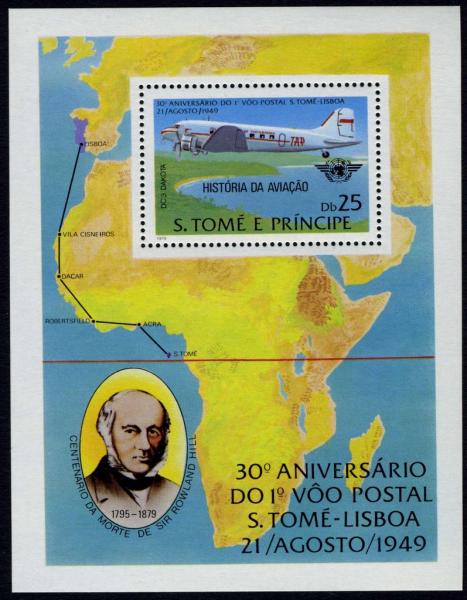
Type: sheet Issuer: St. Thomas & Prince Islands Date: 1979
Visibility: public Image owner: none
14 matches:
St. Thomas & Prince Islands 1979 sheet of 1 type
St. Thomas & Prince Islands 1979 empty sheet (#14756)
St. Thomas & Prince Islands 1979 empty sheet (#14757)
St. Thomas & Prince Islands 1979 empty sheet (#38223)
St. Thomas & Prince Islands 1979 empty sheet (#38224)
St. Thomas & Prince Islands 1979 empty sheet (#38225)
St. Thomas & Prince Islands 1979 empty sheet (#38226)
St. Thomas & Prince Islands 1979 empty sheet (#38227)
St. Thomas & Prince Islands 1979 empty sheet (#38228)
St. Thomas & Prince Islands 1979 empty sheet (#38229)
St. Thomas & Prince Islands 1979 empty sheet (#38230)
St. Thomas & Prince Islands 1979 empty sheet (#38231)
St. Thomas & Prince Islands 1979 empty sheet (#38232)

Crops
No visible images cropped from this one.

Measurements
Resolution is unknown.

Source
Source name: Colnect
File URL: http://i.colnect.net/images/b/2099/101/DC-3-Dakota-Sir-Rowland-Hill-Map-of-Africa.jpg

Uploaded December 23, 2014, 2:23 pm by Stan Shebs