Image Colnect-2411-304-Map-of-Pacific-Ocean-showing-Pitcairn-Island.jpg

(416 x 342 pixels) |
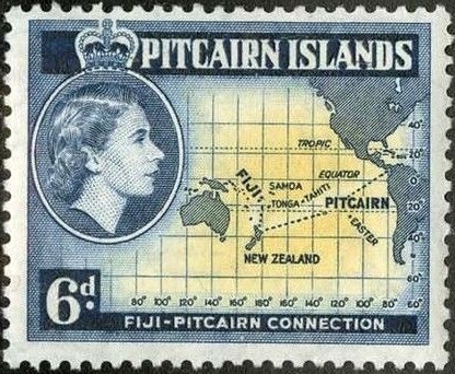
Type: stamp Issuer: Pitcairn Islands Date: 1957 Denom: ?
Visibility: public Image owner: none postage 7/2/1957 6p graybl&yel issue=Elizabeth II pictorials d=Fiji-Pitcairn connection Map & Queen Elizabeth II wmk=mult crown & script CA perf=13x12.5 Crops No visible images cropped from this one. Measurements Resolution is unknown. Source Source name: Colnect File URL: http://i.colnect.net/b/2411/304/Map-of-Pacific-Ocean-showing-Pitcairn-Island.jpg Uploaded June 21, 2015, 4:24 am by Stan Shebs |