Image Colnect-2672-482-Map-of-Guatemala-and-Brit-Honduras.jpg
(250 x 294 pixels) |
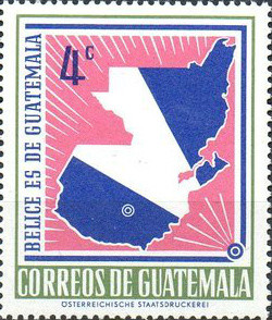
Type: stamp Issuer: Guatemala Date: 1967 Denom: ?
Visibility: public Image owner: none postage 4/28/1967 4c d=claim to British Honduras unwmk Crops No visible images cropped from this one. Measurements Resolution is unknown. Source Source name: Colnect File URL: http://i.colnect.net/images/b/2672/482/Map-of-Guatemala-and-Brit-Honduras.jpg Uploaded November 12, 2015, 5:23 pm by Stan Shebs |