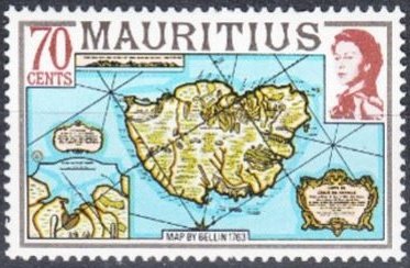
Image Colnect-3558-222-Map-of-the-island-of-Mauritius-by-Bellin-1763.jpg

(373 x 244 pixels) |
Type: stamp Issuer: Mauritius Date: 1978 Denom: ?
Visibility: public Image owner: none postage 3/12/1978 70c multi issue=1978 d=Map of the island of Mauritius by Bellin 1763 wmk=mult crown & script CA perf=14 Crops No visible images cropped from this one. Measurements Resolution is unknown. Source Source name: Colnect File URL: http://i.colnect.net/b/3558/222/Map-of-the-island-of-Mauritius-by-Bellin-1763.jpg Uploaded May 18, 2017, 5:23 pm by Stan Shebs |