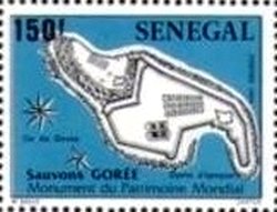
Image Colnect-3590-297-Map-of-Gorée-Island-Fortifications.jpg
(250 x 191 pixels) |
Type: stamp Issuer: Senegal Date: 1984 Denom: ?
Visibility: public Image owner: none postage 12/6/1984 150fr multi issue=Goree Island d=Map of Gorée Island Fortifications unwmk perf=12.75x12.5 Crops No visible images cropped from this one. Measurements Resolution is unknown. Source Source name: Colnect File URL: http://i.colnect.net/b/3590/297/Map-of-Gorée-Island-Fortifications.jpg Uploaded June 6, 2017, 10:08 pm by Stan Shebs |