Image Colnect-849-503-Map-of-the-island.jpg

(267 x 318 pixels) |
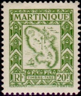
Type: stamp Issuer: Martinique Date: 1947 Denom: ?
Visibility: public Image owner: none postage due 6/2/1947 20fr grnol issue=1947 due d=map of Martinique unwmk Crops No visible images cropped from this one. Measurements Resolution is unknown. Source Source name: Colnect File URL: http://i.colnect.net/images/b/849/503/Map-of-the-island.jpg Uploaded August 27, 2014, 4:55 pm by Stan Shebs |