Image Colnect-6450-456-Mapping-project-Wallis.jpg
(404 x 660 pixels) |
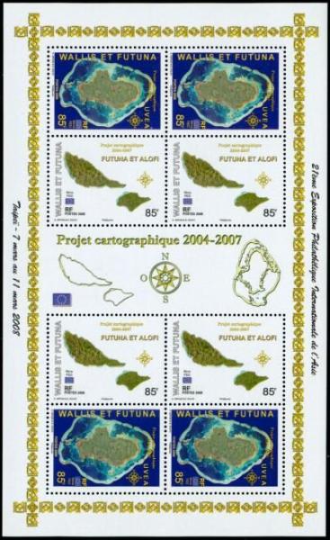
Type: sheet Issuer: Wallis & Futuna Islands Date: 2008
Visibility: public Image owner: none Crops No visible images cropped from this one. Measurements Resolution is unknown. Source Source name: Colnect File URL: http://i.colnect.net/b/6450/456/Mapping-project-Wallis.jpg Uploaded February 6, 2020, 7:20 pm by Stan Shebs |