Image Colnect-1499-318-Map-of-Nyasaland.jpg
(497 x 369 pixels) |
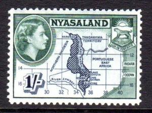
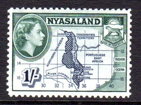
Type: stamp Issuer: Nyasaland Protectorate Date: 1953 Denom: ?
Visibility: public Image owner: none postage 9/1/1953 1sh issue=Elizabeth II pictorials d=map of Nyasaland & Queen Elizabeth II wmk=mult crown & script CA Crops No visible images cropped from this one. Measurements Resolution is unknown. Source Source name: Colnect File URL: http://i.colnect.net/b/1499/318/Map-of-Nyasaland.jpg Uploaded September 1, 2014, 5:43 pm by Stan Shebs |