Image Colnect-128-126-Map.jpg
(331 x 391 pixels) |
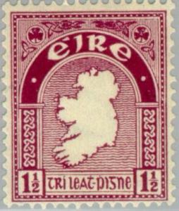
Type: stamp Issuer: Ireland Date: 1940 Denom: ?
Visibility: public Image owner: none postage 1941 1 1/2p cl issue=1940 d=map of Ireland wmk=e perf=15x14 Crops No visible images cropped from this one. Measurements Resolution is unknown. Source Source name: Colnect File URL: http://i.colnect.net/images/b/128/126/Map.jpg Uploaded August 16, 2014, 12:45 pm by Stan Shebs |