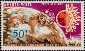
Image Colnect-508-188-Earth-Gyrocompass-Map-of-Africa.jpg
(622 x 372 pixels) |
Type: stamp Issuer: Upper Volta Date: 1965 Denom: ?
Visibility: public Image owner: none airmail 3/23/1965 50fr multi issue=World Meteorological Day 1965 unwmk Crops No visible images cropped from this one. Measurements Resolution is unknown. Source Source name: Colnect File URL: http://i.colnect.net/b/508/188/Earth-Gyrocompass-Map-of-Africa.jpg Uploaded August 18, 2014, 2:39 pm by Stan Shebs |