Stamps of Namibia, 1990
1 to 15 of 15
postage
1990, Mar 21 independence issue unwmk (no perf info)

| X | 18c | Sam Nujoma & map & flag | ||||
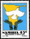
| - | 45c | Map Dove Hands | ||||
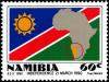
| - | 60c | flag of Namibia & map of Africa showing Namibia |
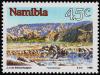
1990, Apr 26 scenic (1990)
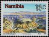
| X | 18c | Fish River Canyon | ||||
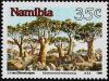
| - | 35c | Quiver Tree Forest | ||||
| - | 45c | Tsaris Mountains | ||||
| - | 60c | Dolerite Hills |
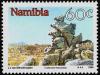
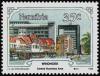
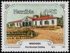
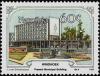
1990, Jul 26 Windhoek
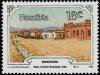
| X | 18c | Early central business area | ||||
| - | 35c | Modern central business area | ||||
| - | 45c | First municipal building | ||||
| X | 60c | Current municipal building |
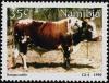
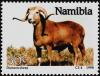
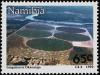
1990, Oct 11 farming&ranching
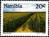
| X | 20c | cornfields | ||||
| - | 35c | Sanga cattle | ||||
| X | 50c | Damara sheep | ||||
| - | 65c | irrigation |
1 to 15 of 15