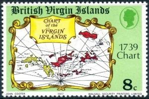
Virgin Island Chart 1739
|
Name: Virgin Island Chart 1739
Type: map Appearing in designs: Virgin Island Chart 1739 Virgin Islands 5/9/1977 8c dt=British Virgin Islands 18th Century Maps No synonyms. Record of changes |
Prev map: United States&Ecuador map
Next map: Virgin Island Chart 1758 Prev symbol: Viking flight Plan Next symbol: Virgo Wikipedia article |