Image Colnect-2210-878-Map-Atlantic-ocean-and-view-of-Willemstad.jpg
(1024 x 715 pixels) |
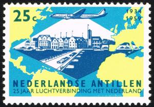
Type: stamp Issuer: Netherlands Antilles Date: 1959 Denom: ?
Visibility: public Image owner: none postage 12/22/1959 25c multi issue=first flight 25th d=Map Atlantic ocean & view of Willemsted unwmk Crops No visible images cropped from this one. Measurements Resolution is unknown. Source Source name: Colnect File URL: http://i.colnect.net/b/2210/878/Map-Atlantic-ocean-and-view-of-Willemstad.jpg Uploaded December 17, 2014, 2:24 am by Stan Shebs |