| - |
1c |
multi |
Mili Atoll map & astrolabe, p. 15x14 | |
|
|
| X |
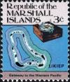
3c |
multi |
Likiep map & azimuth compass, p. 15x14 | |
|
|
| X |
5c |
multi |
Ebon map & old compass, p. 15x14 | |
|
|
| - |
10c |
multi |
Jaluit map & anchor buoys, p. 15x14 | |
|
|
| - |
13c |
multi |
Ailinginae Nocturnal, p. 15x14 | |
|
|
| - |
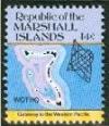
14c |
multi |
map of Wotho & stick map, p. 15x14 | |
|
|
| - |
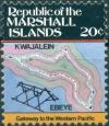
20c |
multi |
map of Kwajalein & Ebeye stick chart, p. 15x14 | |
|
|
| - |
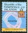
22c |
multi |
map of Enewetak, p. 15x14 | |
|
|
| - |
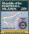
28c |
multi |
Ailinglaplap printed compass, p. 15x14 | |
|
|
| - |
30c |
multi |
map of Majuro & navigational stick-chart, p. 15x14 | |
|
|
| - |
33c |
multi |
map of Namu, p. 15x14 | |
|
|
| - |
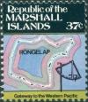
37c |
multi |
map of Rongelap & quadrant, p. 15x14 | |
|
|
| - |
39c |
multi |
map of Taka & map of Utirk, p. 15x14 | |
|
|
| - |
44c |
multi |
p. 15x14 | |
|
|
| - |
50c |
multi |
p. 15x14 | |
|
|
| - |
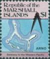
$1 |
multi |
Arno 16th cent sector compass, p. 15x14 | |
|
|
| - |
$2 |
multi |
(1986) | — |
— |
|
| - |
$5 |
multi |
(1986) | — |
— |
|
| - |
$10 |
multi |
p. 14 (1987) | |
|
|