Image Colnect-946-166-Map-of-Bonaire-and-location-of-solar-salt-pond.jpg
(183 x 259 pixels) |
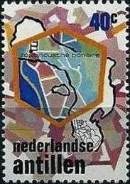
Type: stamp Issuer: Netherlands Antilles Date: 1975 Denom: ?
Visibility: public Image owner: none postage 4/24/1975 40c multi issue=Bonaire salt industry d=Map of Bonaire & location of solar salt pond unwmk Crops No visible images cropped from this one. Measurements Resolution is unknown. Source Source name: Colnect File URL: http://i.colnect.net/b/946/166/Map-of-Bonaire-and-location-of-solar-salt-pond.jpg Uploaded August 24, 2014, 6:57 pm by Stan Shebs |