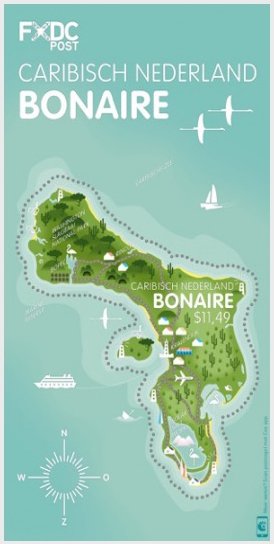
Image Colnect-5298-871-Map-Of-Bonaire.jpg
(274 x 544 pixels) |
Type: sheet Issuer: Caribbean Netherlands Date: 2016
Visibility: public Image owner: none Crops No visible images cropped from this one. Measurements Resolution is unknown. Source Source name: Colnect File URL: http://i.colnect.net/b/5298/871/Map-Of-Bonaire.jpg Uploaded April 12, 2019, 6:00 pm by Stan Shebs |