Image Colnect-1525-126-Map-of-South-America-divided-into-long--and-latitudes.jpg

(467 x 639 pixels) |
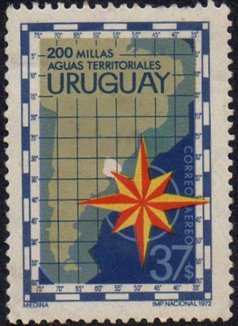
Type: stamp Issuer: Uruguay Date: 1972 Denom: ?
Visibility: public Image owner: none airmail 9/20/1972 37p multi issue=Campaign for Extension of Territorial Waters to 200-Mile Limit wmk=large sun & ROU Crops No visible images cropped from this one. Measurements Resolution is unknown. Source Source name: Colnect File URL: http://i.colnect.net/b/1525/126/Map-of-South-America-divided-into-long--and-latitudes.jpg Uploaded September 1, 2014, 6:46 pm by Stan Shebs |