Image Colnect-6042-519-Map-of-French-Island-British-Island.jpg

(744 x 500 pixels) |
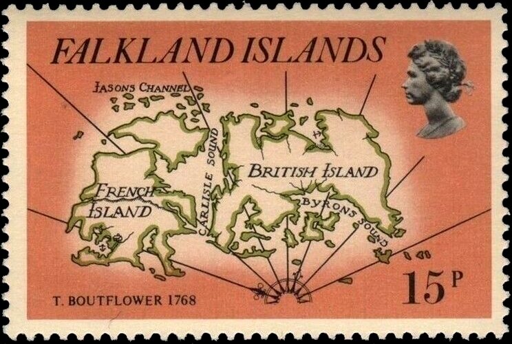
Type: stamp Issuer: Falkland Islands Date: 1981 Denom: ?
Visibility: public Image owner: none postage 5/22/1981 15p multi dt=maps of the Falklands d=FrenchBritish Islands wmk=crown & CA spiral perf=14 Crops No visible images cropped from this one. Measurements Resolution is unknown. Source Source name: Colnect File URL: http://i.colnect.net/b/6042/519/Map-of-French-Island-British-Island.jpg Uploaded November 26, 2019, 6:03 pm by Stan Shebs |